Track GPX
In order to use the track you must have installed an application that reads this type of files, such as Wikiloc, Tracklia, Geo Tracker o GPX Viewer.
Sóller: paths of Rocafort and es Rost
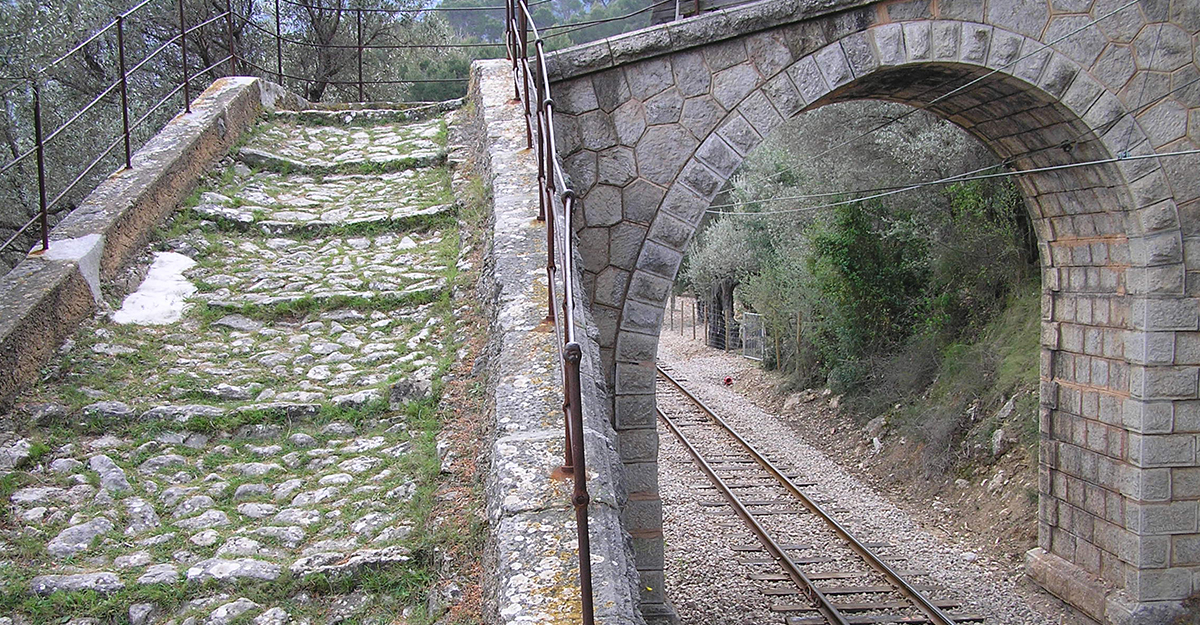
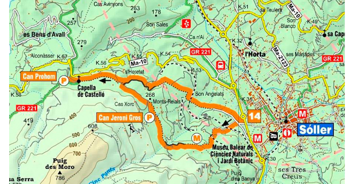
A tarmac road leads from the MA-11 bypass, dividing later into two separate tracks. The right fork leads to Camí des Rost, which goes on to Deià, while the left fork is a cobbled mule track that runs between terraced kitchen gardens and orchards. This last track is called Camí de Rocafort and it climbs up to a property of the same name. Shortly after it crosses the railway track, there is an offshoot that turns right to Castelló and Deià. A flat section goes through olive groves to a group of houses called Can Gamundí, Can Tes and Can Jeroni Gros. After passing through orchards and kitchen gardens, it reaches the track of Camí de Cas Xorc and Camí de s’Heretat, close to the intersection with Camí des Rost. The cobbled path continues to the oratory and esplanade where two big houses, Can Prohom and Son Mico, stand overlooking the valley. You can return to Sóller along Camí des Rost, sections of which are still in perfect condition.
The GR 221 dry stone route passes through the municipality of Sóller on stage 5, from Muleta to Tossals Verds. All the official information can be found at https://caminsdepedra.conselldemallorca.cat/es/-/etapa-5-muleta-tossals-ver-1
Related information
-
Sóller's route
Download


